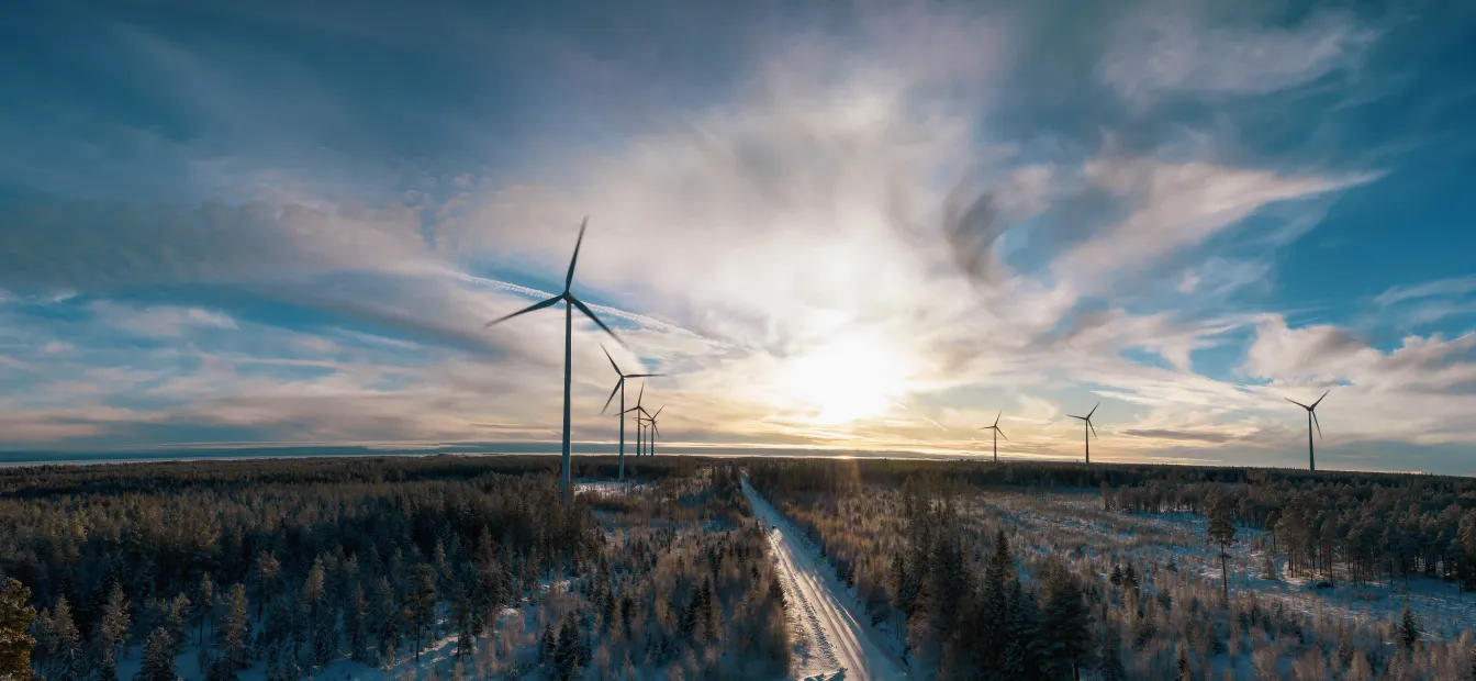
Risk assessment for ice fall and ice throw
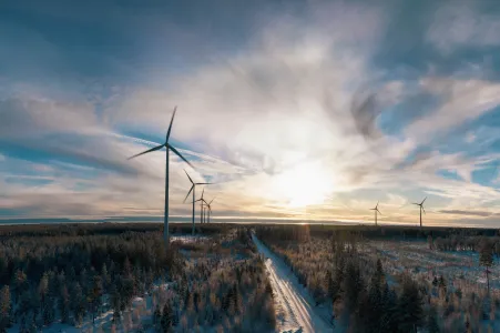
Ice fall or ice throw can pose a hazard in the vicinity of roads and heavily frequented areas.
Minimise risks
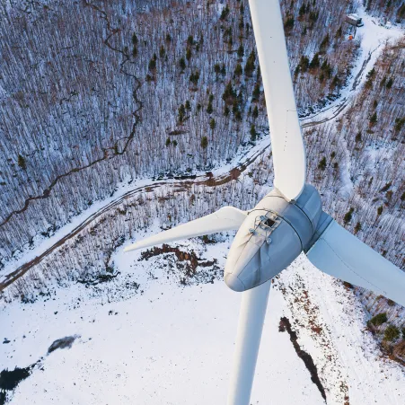
Ice fall and ice throw occur at a rate of around a thousand pieces of ice per year. These can potentially cause serious or even fatal injuries.
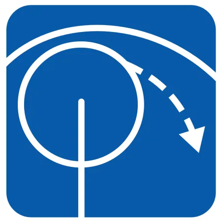
Ice throw occurs when small pieces of ice detach from an operating wind turbine. A sensor system on the wind turbine can prevent ice throw. What remains is ice fall that falls from a stationary or idling turbine.
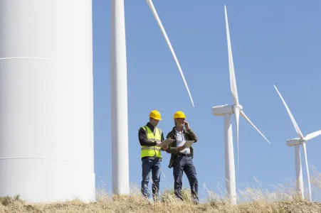
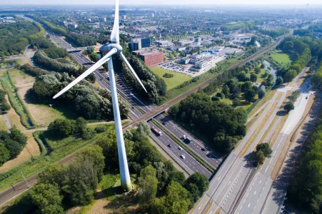
If wind farms are located close to public roads or areas with a high frequency of use by people, this often requires a risk assessment for ice throw and ice fall for operation.
Basis
Personal injury is assessed for the risk report. To do this, we determine the frequency and extent of harm to people in the vicinity of the wind turbine.
Calculation
We calculate the hit frequency of ice pieces of different sizes and densities in the vicinity of the wind turbine. We take into account climatological time series and the trajectory of several hundred thousand pieces of ice.
Wind conditions at the individual location and hilly terrain profiles also influence ice throw and ice fall. Hilly and mountainous terrain significantly increases the flight range of ice pieces, for example downhill.

Procedure
We calculate and assess the expected risk for your project. In doing so, we take into account the danger to people. At the same time, we propose risk-minimising measures if these are necessary.
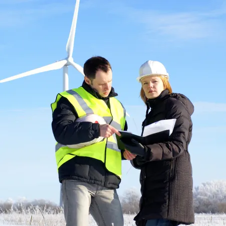
We are at your side
Frequently asked questions
What documents are required?
The client shall provide the necessary documents in writing or preferably electronically. Necessary input data are
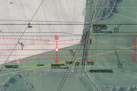
- Consistent coordinates (UTM WGS84 system or similar) of all WTGs to be taken into account. WTGs to be taken into account are
- the planned WTGs,
- existing WTGs in the vicinity of the planning whose ice fall could affect the protected objects to be taken into account
- The respective WTG type, rated power and hub height
- Data on the (long-term corrected) frequency distribution of the wind direction including Weibull parameters at hub height of the respective WTG representative for periods with icing conditions
- Definition of the objects to be protected and details of the planned ice detection system, if applicable a report and documentation of the site survey
Which traffic ways and paths need to be considered?
This depends heavily on the federal state and municipality. If there are no official requirements, we will liaise with you during processing.
Why is the maximum flight distance in icefall and ice throw not so different?
When ice is thrown, the majority of the ice pieces fly further than in the case of ice fall. However, storm events usually trigger maximum flight distances. Therefore, the difference in maximum flight distance is not so great, but the distribution within the hit field changes considerably.
Why do the existing wind turbines play a role in the risk assessment? Isn't it just about the planning?
It may be necessary to include existing WTGs in the risk assessment. The risk posed by the planned wind turbine is calculated for a person using a road or path. For this person, the risk from the existing turbines is added to the risk from the new planning. If a new wind turbine makes a large contribution to the added risk, then it must be demonstrated that the sum of the risk remains acceptable. In some cases, this also requires calculating and evaluating the existing wind turbines.
What information is needed about the presence of people on the paths around the wind turbine?
This depends on the type of paths and roads. For smaller paths or roads with low traffic volumes, the so-called individual risk is decisive. In this case, a scenario is designed for a person with the highest frequency of use (the so-called critical individual). This could be a dog owner, for example, who passes the wind turbine every day on his rounds with his dog. The risk is assessed for this scenario. The thinking behind this is as follows: If the risk is tolerable for a person who walks past the wind turbine every day, then it will also be tolerable for all people who walk past it less frequently.
I have a rotor blade heating. Do I still need a risk assessment?
Rotor blade heating is not intended to reduce risk! It is merely a product to maximise yield. As things stand at present, it is assumed that the number of ice pieces increases when a rotor blade heater is used while the average size of the ice piece decreases. It is therefore viewed rather critically in terms of the risk to people.
What exactly does the definition of the protected objects look like? Is a text description of the object and coordinates sufficient or what information do you need?
A text description of the protected objects is generally sufficient. For smaller paths or for areas that are to be considered as protected objects, a map representation (e.g. as a jpg) would be advantageous. Coordinates are generally not required.
Is a site survey mandatory for an icefall assessment?
A site survey is not mandatory, but can be helpful for documenting the specified protected objects on site. Information on the nature of the objects to be protected, such as road surfaces, speed restrictions and driving bans on traffic routes, is recorded. A site inspection is recommended if the situation on site is not sufficiently known and the characteristics of the objects to be protected cannot be adequately described.
The site survey is expressly not intended to determine the objects to be protected. It is also not used to determine the frequency of people in or on protected objects, the frequency of cars on traffic routes, the climatology of the site or to verify the wind farm configuration.